Great Bay 55K Challenge Course Details
You can race anywhere you like for the virtual Great Bay 55K Challenge…create your own route, use a treadmill, or complete the suggested course and explore the Great Bay, as long as you can run, walk and use your wheelchair safely on your own and without any course support. The 55K Challenge does not need to be completed all at once. Choose your interval, send in your distance and time, and we will help you keep track of your progress. Details on how to submit times will be sent to registrants via email.
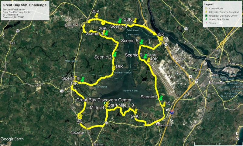
The Great Bay 55K Challenge is a scenic route that takes participants around the Great Bay. Scenic extensions, not included in the 55K Challenge, are marked on the map and described below. Be sure to take photos along your route and post them to your favorite social media with the tab #greatbay55kchallenge or email your photos to gb5k@greatbaystewards.org.
Great Bay 55K Challenge Scenic Route and Extensions
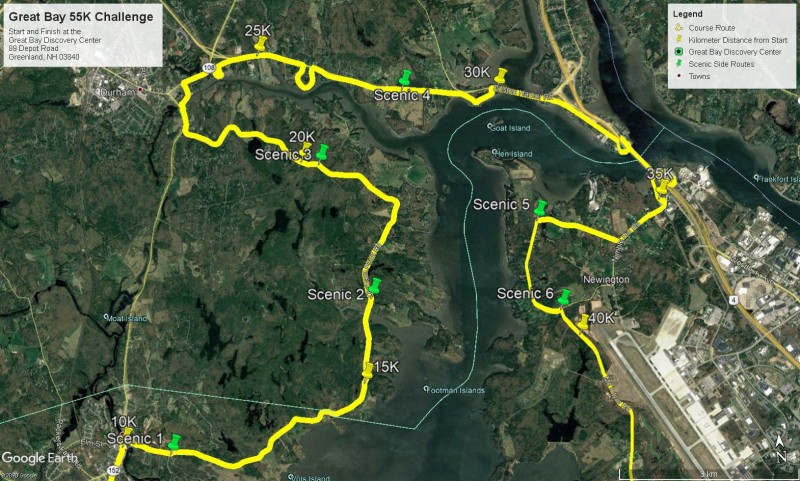
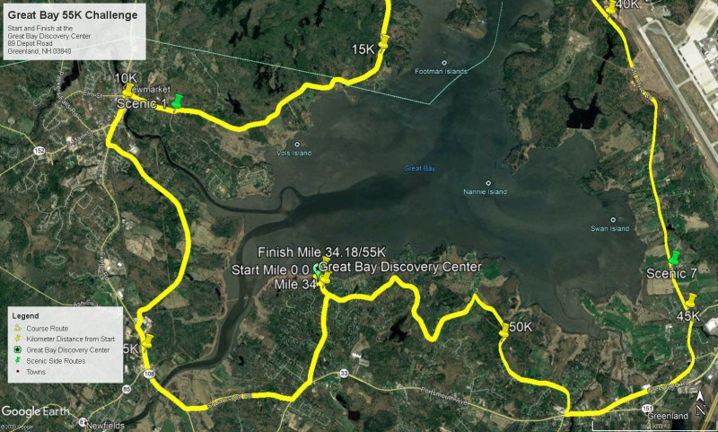
See below for maps of the complete route, the northern and southern portions.
Scenic 1: Moody Point off of Bay Road, Newmarket
Scenic 2: Adams Point to the UNH Jackson Esutarine Lab
Scenic 3: Deer Meadow off of Durham Point Road
Scenic 4: Wagon Hill Farm trails
Scenic 5: Fox Point Road, Newington
Scenic 6: Great Bay National wildlife Refuge
Scenic 7: Driveway to Glenn’s Cove
Great Bay 55K Challenge Turn-by-Turn Description


